West Sussex’s county top, Blackdown, stands at 280m also making it the highest point within the South Downs National Park. It is located in the north of the park, close to Haslemere and the border with Surrey. This area of the park is within the Weald, geographically very different from the chalky South Downs Way, and the sandstone and acidic soils of the Greensand Ridge mean that plant life is restricted here. However, you will find a wonderful mixture of woodland and heathland, and views to inspire one of England’s greatest poets.
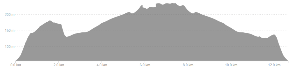
| Route length | 3.8km |
| Route time | 45mins |
| Accessibility | Some paths are narrow and overgrown, especially in the wooded area close to the carpark where you might need to step over some tree roots, but most have excellent accessibility. |
| Challenge rating | 1/5 – Easy challenge. No obvious inclines; family-friendly with plenty of benches around to catch your breath or just enjoy the view. There are many paths leading off the top of Blackdown if you want to increase the challenge! |
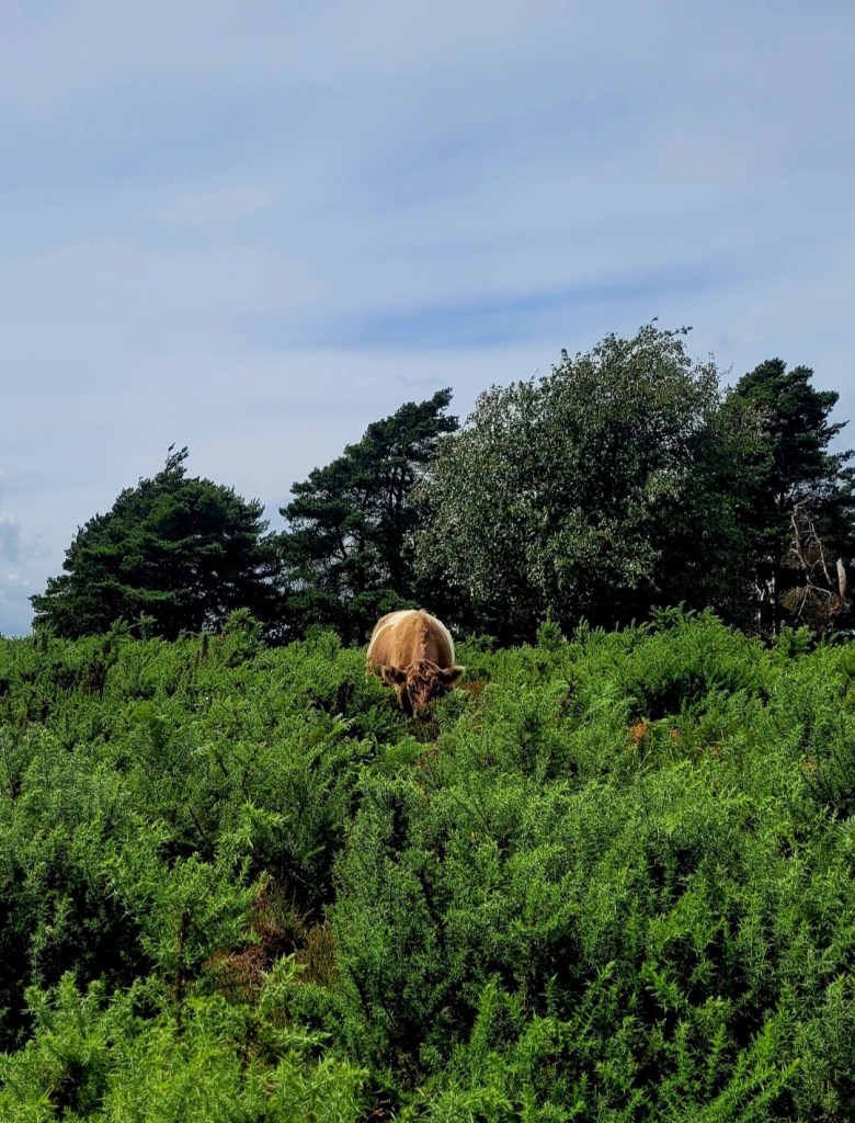
| Dogs? | Dog welcome but must be kept on leads at all times; grazing cattle in the area. |

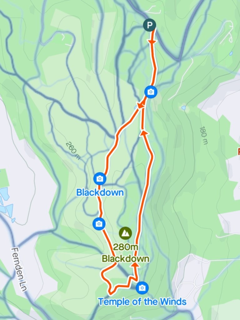
There are three car parks on Tennyson’s Lane (more about him later!) so although this a popular area that gets busy quickly there should be enough available parking. The initial bit of navigation from one of these carparks was a bit tricky, but there are a number of small paths running in the same direction, and it is very difficult to get lost. However, it does feel like a wild woodland here; ferns and fungi surround you and I can imagine this area could have the potential to be boggy in winter. Before long the path splits in two directions; open heathland or continuing into more woodland. We opted to go clockwise, heading into the woodland first.
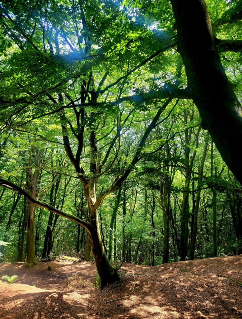
The woods here felt very different; more open and less wild, but still had plenty of places to explore. Paths are broad and easy to follow, but covered in heavy leaf litter. There are plenty of opportunities for adventures in the trees, at your own risk, especially as this east side of the Down is incredibly steep off the sides. Be careful where you explore unless you want a decent climb back up again afterwards!
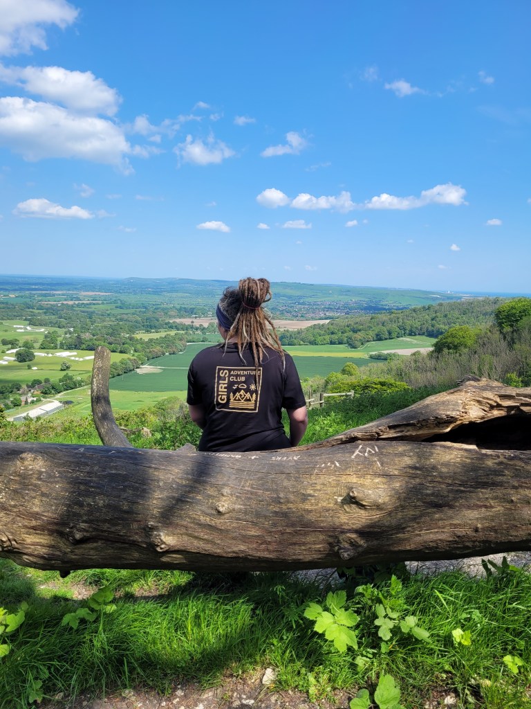
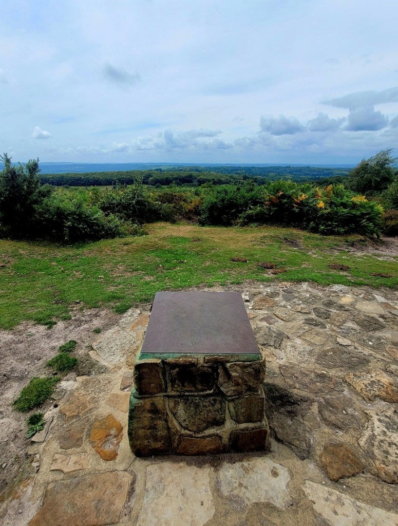
As this path comes to the south of the hill, tucked just out of the way you will be greeted by an inscribed stone bench overlooking an amazing view; beautifully named The Temple of the Winds.
You came, and looked and loved the view, long-known and loved by me,
Green Sussex fading into blue with one gray glimpse of sea
Alfred Tennyson
Poet Laureate Alfred Lord Tennyson tired of the admirers visiting his home on the Isle of Wight, and in 1869 he built a new family home on his estate on Blackdown. He enjoyed the relative privacy this area offered, and apparently walked to The Temple of the Winds daily to enjoy this view of the South Downs.
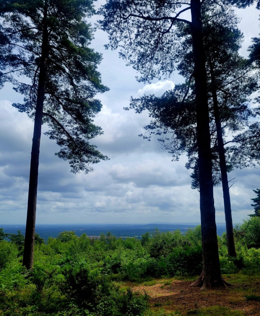
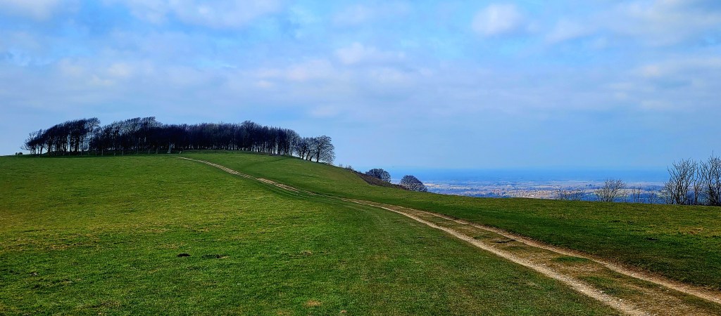
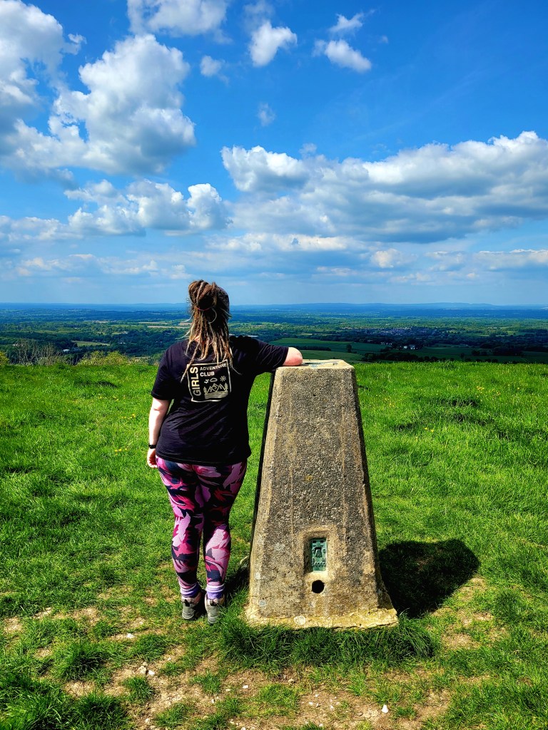
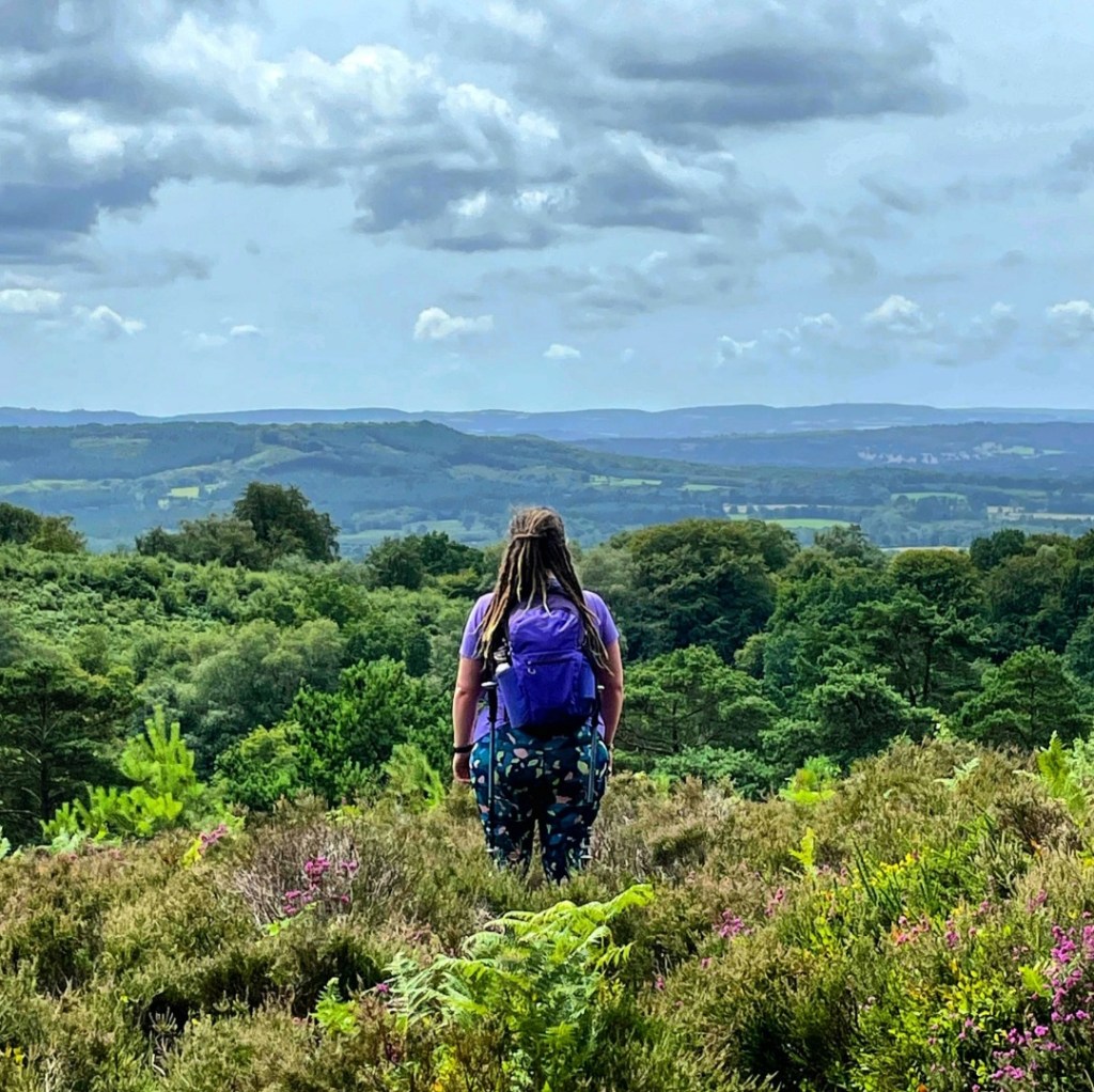
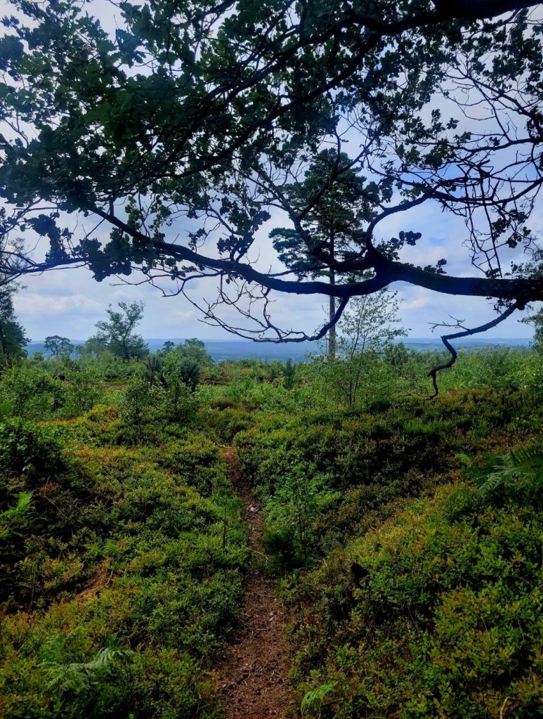
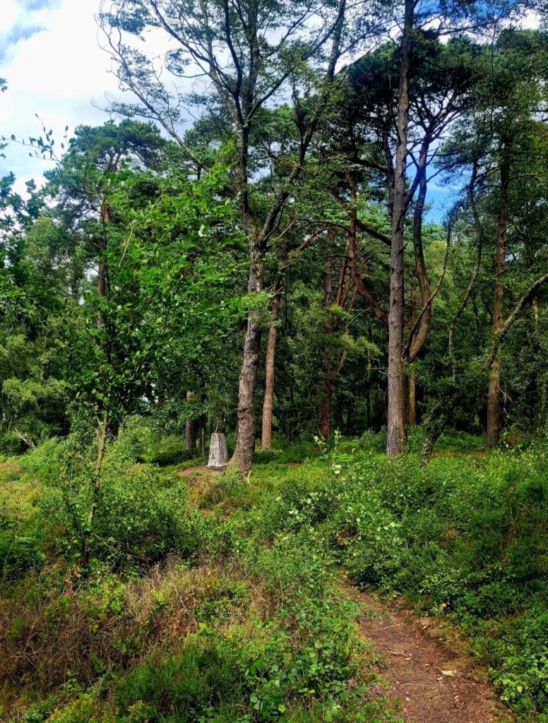
If you can tear yourself away from this view, following the path as it turns offers more glorious views from the top of Blackdown’s steep southern slopes. As the path heads north the trees part, leading into open heathland that covers the slightly less steep slopes of the west side of the Down. This was stunning in the summer, purple heathers and wildflowers everywhere. The glorious views continue, and you’ll find the trig point about halfway along this section, where the heathland meets the woods. There is also a view point here, and plenty of benches on the way to take it all in.
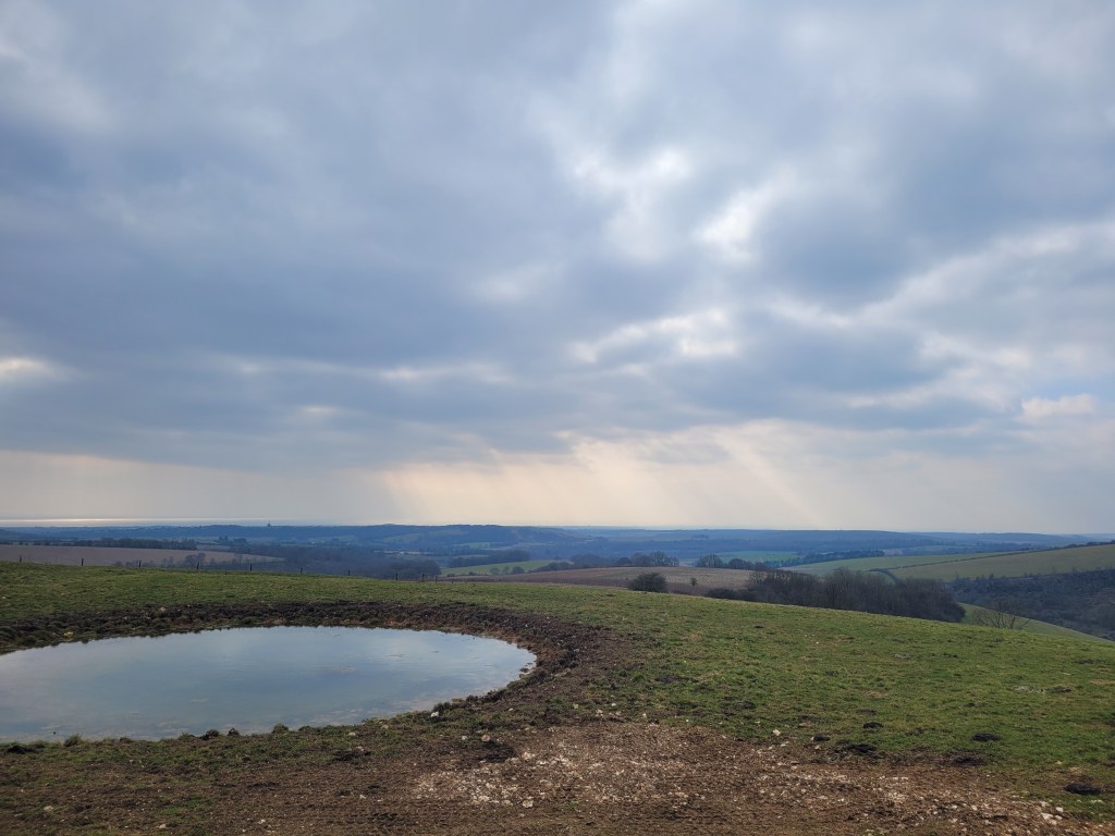
Before the path re-enters the “wild woods” on the way back to the carpark, it winds past some ponds. The cattle seemed drawn here, but also seemed relaxed enough with people around.
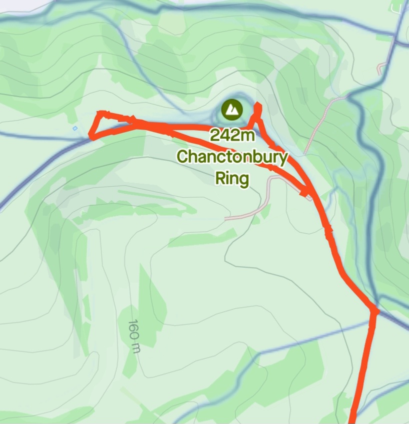
Before long you will find yourself back at the car park; although I have suggested 45mins for this short walk it will easily take you double this time if you are investigating every little path, spying fungi and checking out all the possible views (not that I did this, of course). Full Strava map and link below for this relaxed route, and if you want more of a challenge check out the other options available from this location including the 65km Serpent Trail which starts nearby in Haslemere.